Scotland Travel Blog May 2024
”West Highland Way in Photos”
Aury’s turn to write the Blog this month and I’m writing again about the West Highland Way. It’s only a year since I last did the hike, but this time I did the whole thing Solo. Well I say “solo”, but the great thing with the West Highland Way is the people you meet along the trail, and the camaraderie born from our shared goal / suffering.
If you are a solo female traveling to Scotland, then hiking the WHW (it takes too long to type the full name every time) is a great thing to do. It’s a safe activity and I never felt uncomfortable about being on my own.
I’ve previously written a blog about my 2023 West Highland Way experience and detailed what you should plan for if covering this 96-mile long path in 5 days. In this blog, I aim to give you a bit more of a feel for the experience with a collection of photos listed in chronological order along the hike.
DAY 1: Milngavie to Balmaha
Once again, I opted to do the route from south to north as it’s always nice to end a trip in the Highlands. Mike dropped me off early at the starting point in Milngavie, so I hit the trail at 8:35am. At that time of day, it seems that most of the people in Milngavie town centre are heading to the WHW.
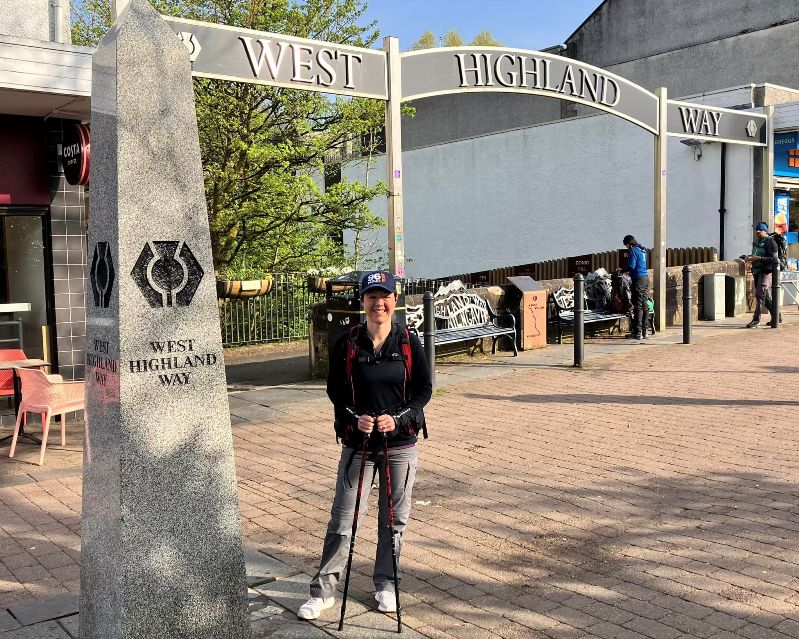
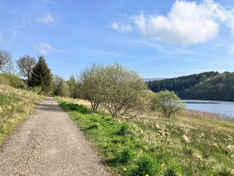
The first part of the walk was easygoing and I was blessed with warm spring sunshine.
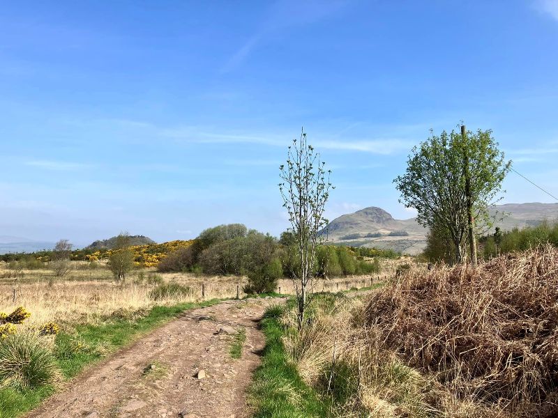
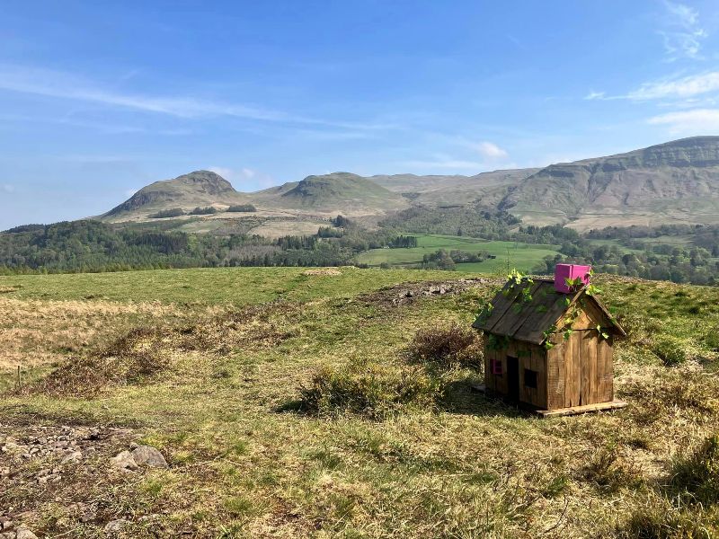
The distinctive shape of Dumgoyne Hill soon comes into view. The hill is the remains of a volcanic plug at the western end of a range of rolling hills called the Campsie Fells.
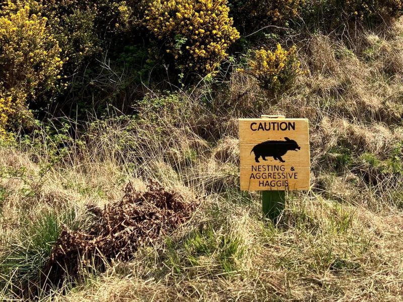
One of the nice things about this section of the trail is the little waymarkers that locals have added to brighten up your day. Some of these are quite new additions such as this “Haggis House” and the warning sign about the risk of “Aggressive Haggis” in the wild.
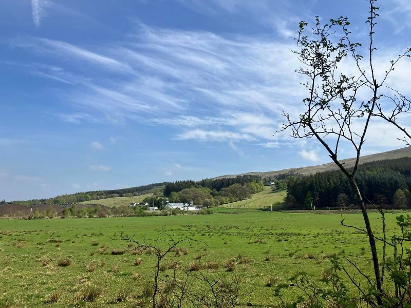
The path passes tantalisingly close to Glengoyne Distillery and, if the wind direction is blowing the right way, you can sometimes catch a whiff of whisky. But I had a schedule to stick too, so whisky tasting was not an option for today.
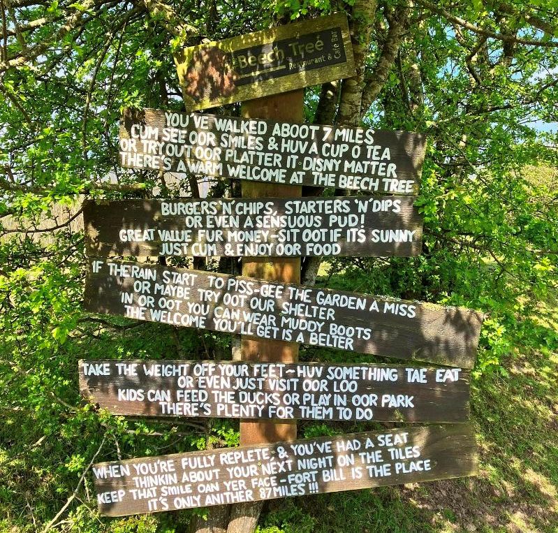
The thought and effort that went into this sign really impressed me. You need to read it with a Scottish accent to fully appreciate it.
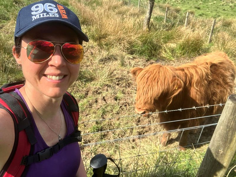
Tourist click bait… but everyone loves a wee fluffy Hairy Coo, and this wee coo seemed to enjoy all the attention too.
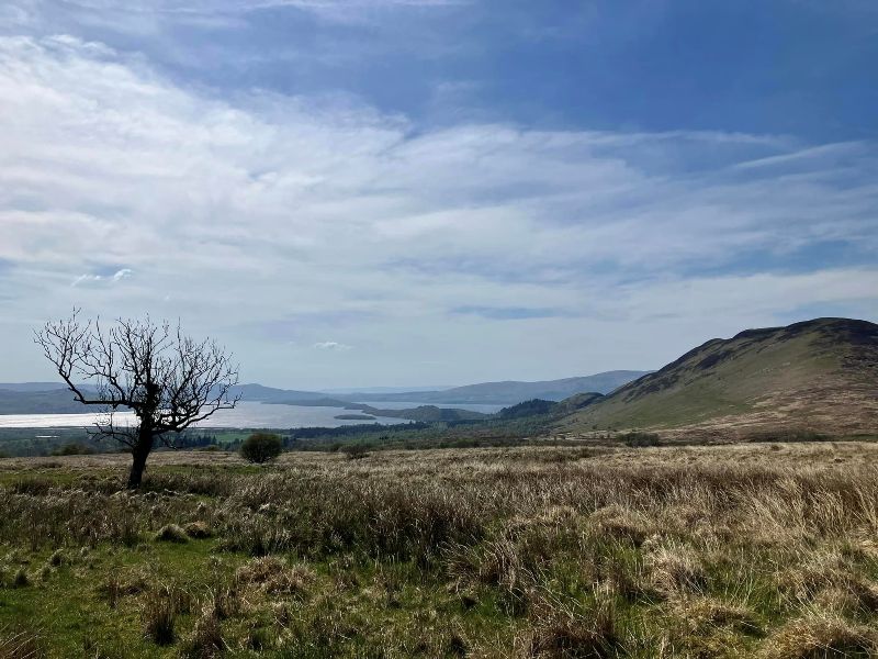
Loch Lomond comes into view.
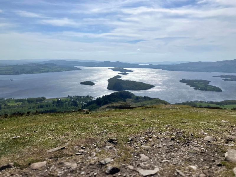
Since the weather was glorious, I took the opportunity of a small detour to nip up to the summit of Conic Hill for a panoramic photo of Loch Lomond in sunshine.
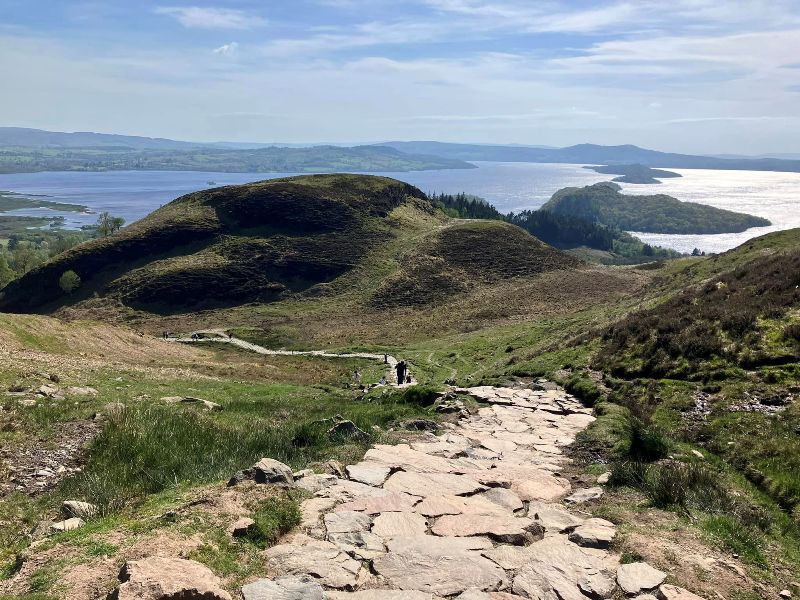
From Conic Hill, it was then just a swift descent down a beautiful bit of path to Balmaha.
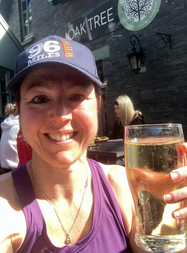
First leg completed, time to enjoy the first pint of the hike at the Oak Tree Inn. They had my favourite Cider on tap, so I just had to.
DAY 2: Balmaha to Inverarnan
Last time round, I found the stretch from Balmaha to Inverarnan was the toughest going. The path along the quiet east shore of Loch Lomond is rough and a bit of a scramble in places. But just like the song, there’s a high road and a low road. So I took the high road this time, and the going was a bit easier.
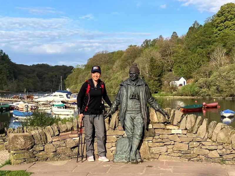
I started this leg of the route from the Tom Weir Memorial statue which is not far from the Oak Tree Inn where I had yesterday celebrated the end of Day 1 with a pint. If you’re Scottish and born before the 1980’s, you’ll know that Tom Weir was a regular face on Scottish TV, and he had a popular TV show called “Weir’s Way” which featured him hiking around the country sporting a distinctive red woolen bonnet.
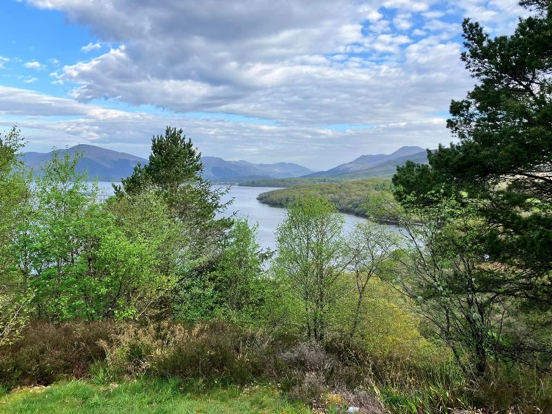
This is a lovely section of the WHW as you get to see Loch Lomond from a host of different angles and elevations. Sometimes from above and sometimes at water level.
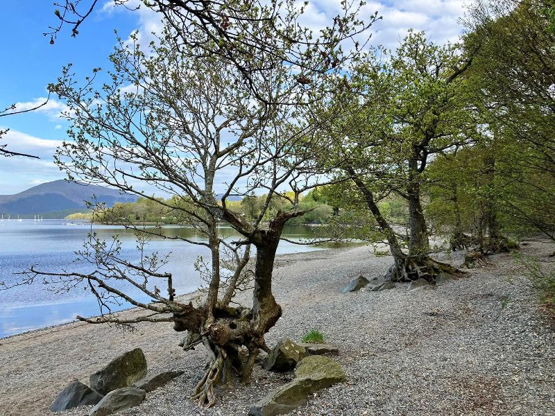
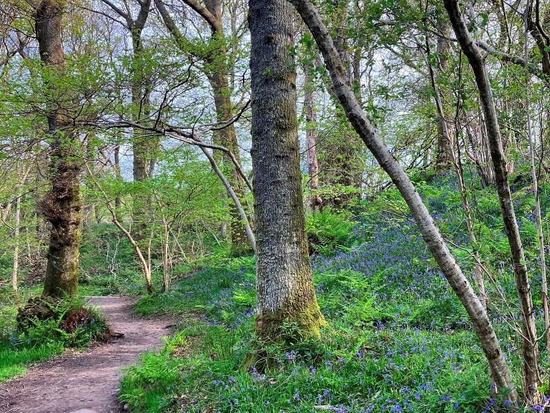
Doing the WHW in early May has a couple of benefits; 1) there are no midges, 2) the Bluebells are out in full bloom in the woodlands.
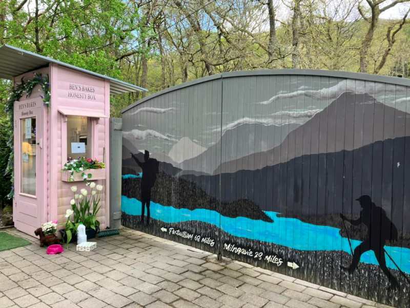
I mentioned earlier that the WHW is a safe activity for solo female travelers. The People who do the WHW are in general decent sorts. They don’t drop litter on the path, and they can be trusted not to steal things. This is evidenced by the various “Honesty Boxes” along the route where you are trusted to pay for the food that you take.
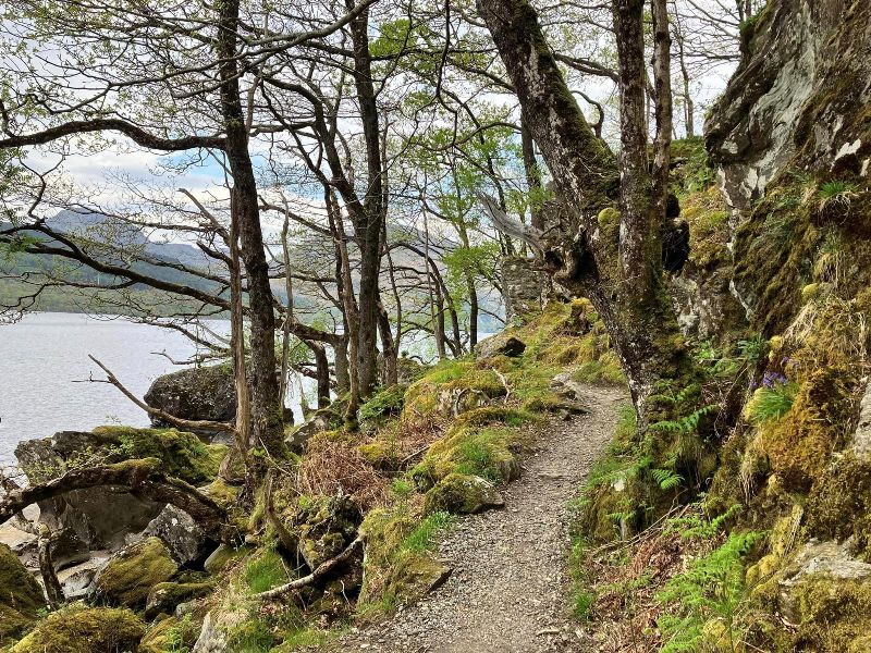
Between Rowardennan and Inversnaid, the path gets narrow and there are some very steep sections where you find yourself using your hands to scramble up and down the slopes.
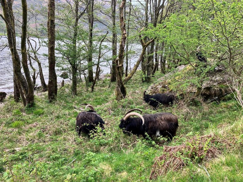
Perfect terrain for Goats.
Loch Lomond seems to go on forever when you are traversing it at a walking pace.
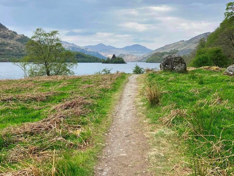
Eventually, the north end comes into sight.
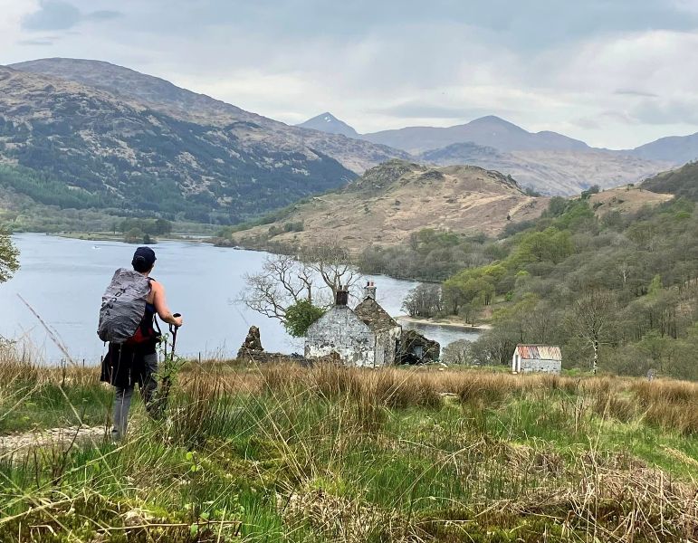
But, I still had another 45 mins of walking between me and my reward of a Pint at the Drover’s Inn.
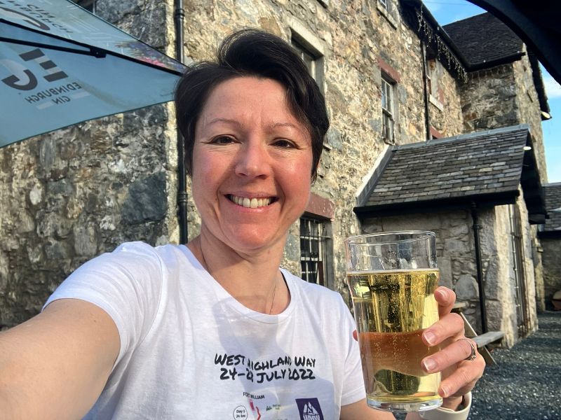
Bang on Pint o’clock, I arrived at the Drover’s Inn.
DAY3: Inverarnan to Inveroran
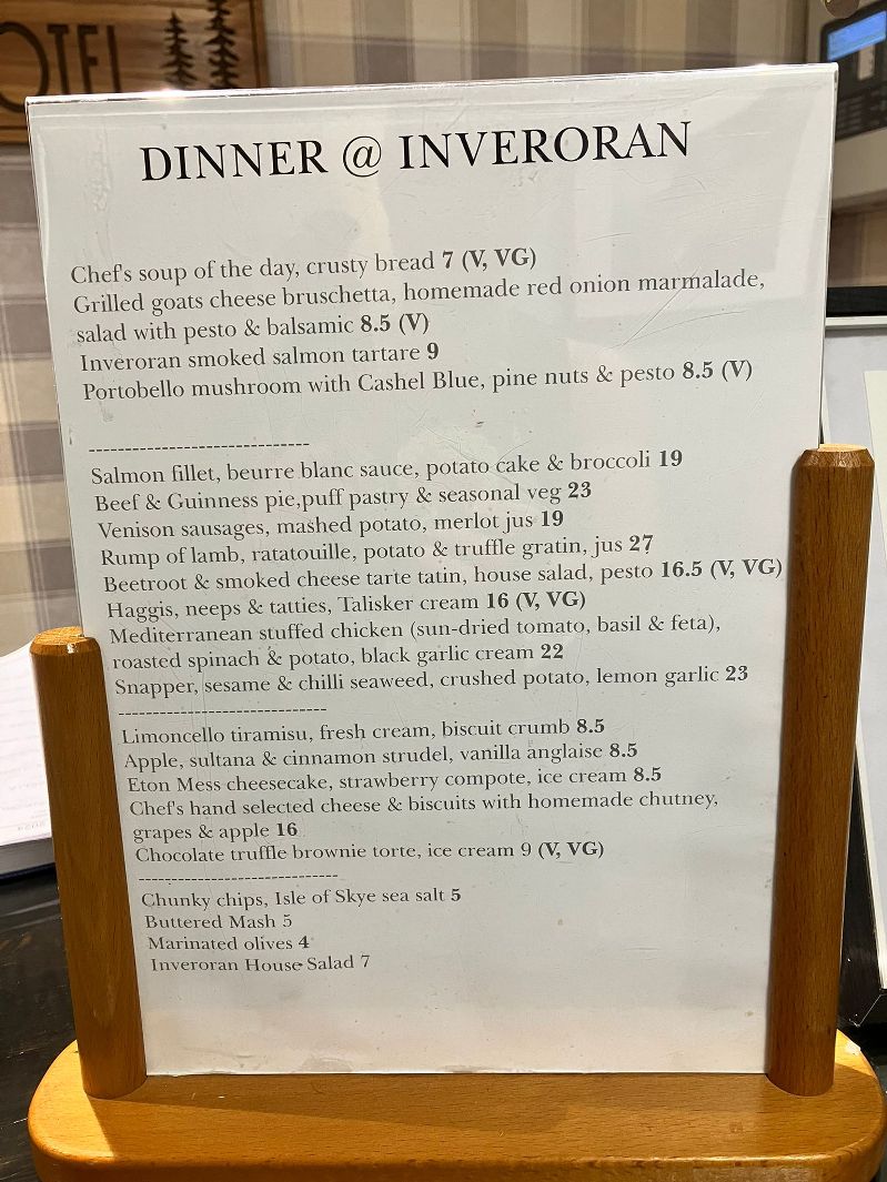
This is the journey leg that I was looking forward to most because my day would be ending at the wonderful Inveroran Hotel where the food is well worth walking 96 miles for. It is also the leg of the WHW where you pass the halfway marker point.
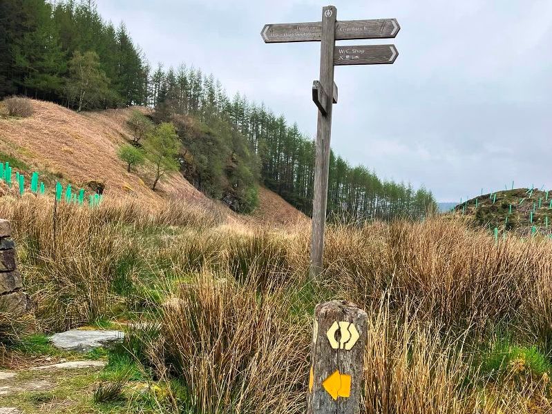
And you pass through my favourite section, the woodlands above Crianlarich. These woodlands have an eerie stillness about them and it feels a bit otherworldly. I started to imagine that I was being watched by faeries in the woods.
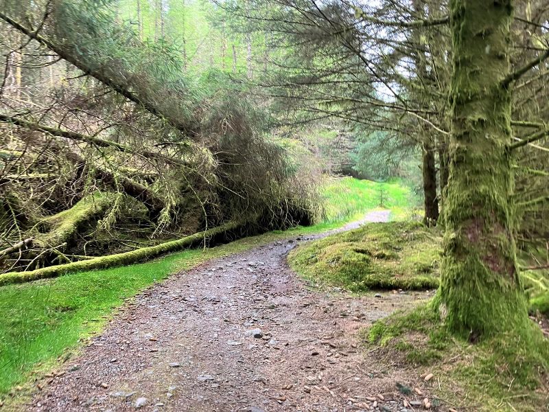
A helpful sign on the path. Maybe a good fairy was at work here!
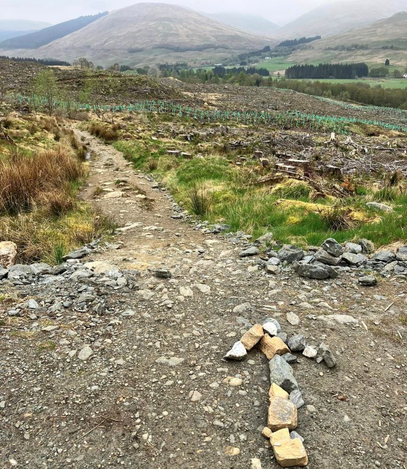
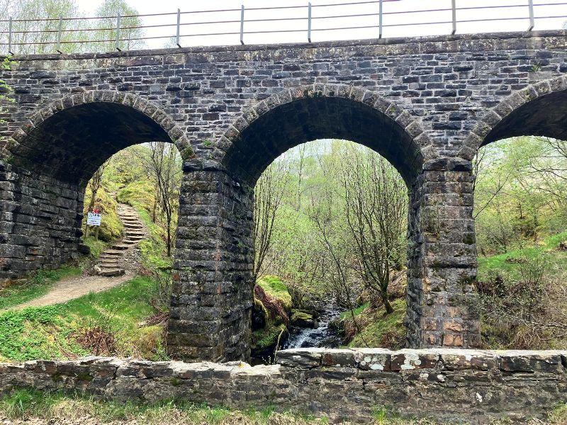
Between Crianlarich and Bridge of Orchy, the path of WHW intertwines with the tracks of the West Highland Railway line.
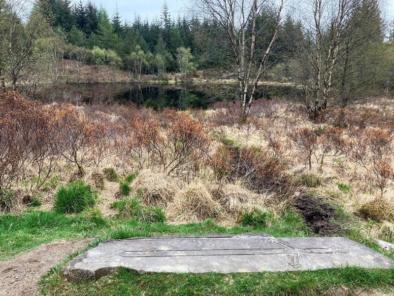
Robert the Bruce is said to have passed this way too in 1306. According to the legend, after his defeat by Clan MacDougall at the Battle of Dalrigh (Gaelic for “King’s Field”), his exhausted army threw their weapons into this small lochan. It seems a bit strange that they would have discarded weapons, but for Bruce it was the lowest point of his campaign and some of his followers might have thrown away their weapons in despair.
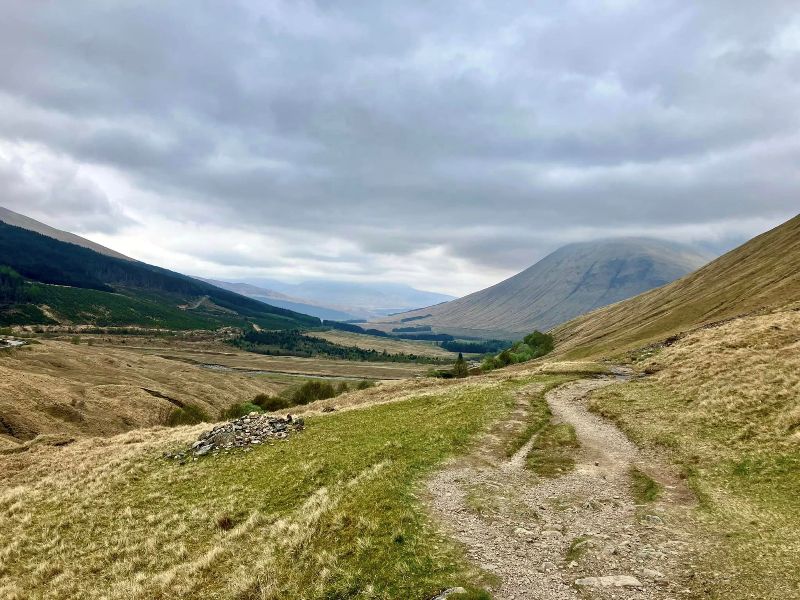
Moving on… you climb out of Tyndrum and the distinctive cone shape of Beinn Dorain comes into view. Or at least the bottom part did as the top was smothered in clouds. And on my left is the A82, main road into the Highlands.
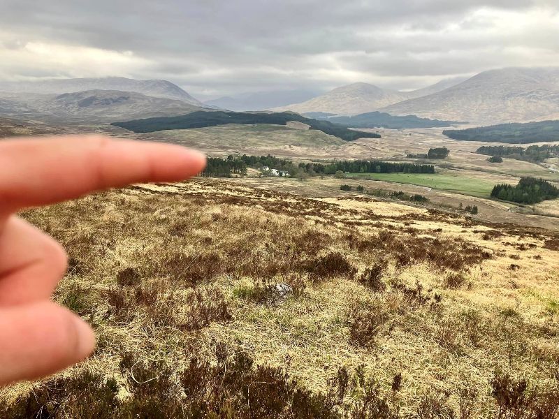
All downhill now with a spring in my step as the Inveroran Hotel comes into view.
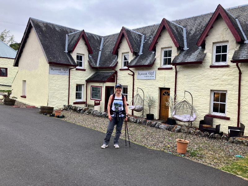
Time for a nice shower, a cool pint of craft beer, and the best food on the WHW.
So many good options, what shall I have?
DAY 4: Inveroran to Kinlochleven
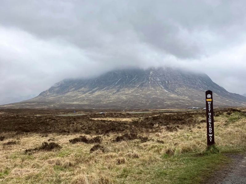
I was hoping for clear skies and sunshine on Day 4 as the last time I hiked this way it was grey and damp, so I didn’t get any good views of Buachaille Etive Mòr as I crossed Rannoch Moor. It wasn’t looking promising, but I was still hopeful.
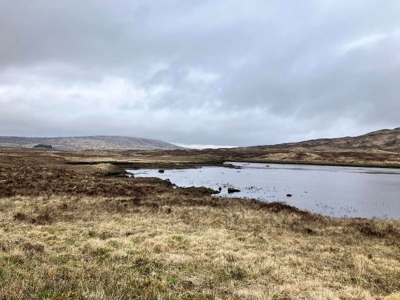
From Bridge of Orchy, the first section of the WHW makes use of a road built by the famous civil engineer, Thomas Telford, in the early 1800s. It’s an unpleasant surface to walk on as the road is made from rough-shaped rocks laid like cobbles to make the road surface. The surface can be felt through the soles of your shoes and already tender feet soon start to ache.
If my feet weren’t so sore, I might have been tempted to bag a couple of Munros along the way. Save that for another time.
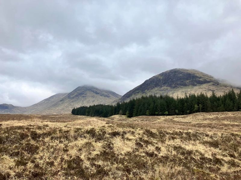
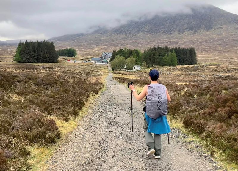
Crossing Rannoch moor is a bit of a boring trudge and the uniformity of Telford’s road doesn’t help to break the monotony.
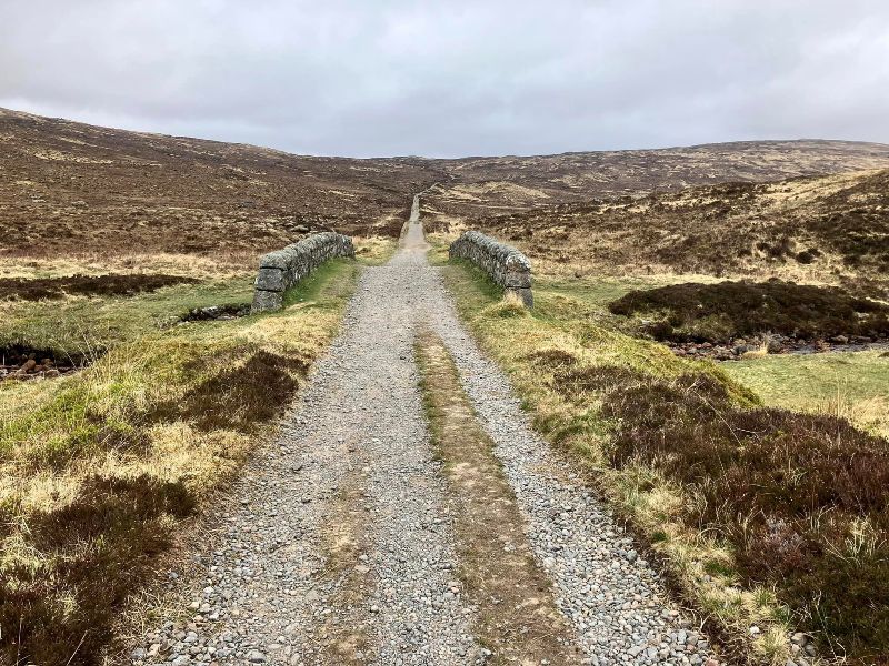
Many centuries of weary travelers will have shared my relief at seeing the rest stop of Kingshouse Hotel coming into sight.
Buachaille Etive Mòr and the WHW signpost, a very popular photo stop on the route. Despite the clouds, this is actually a better view of the mountain than I got last time.
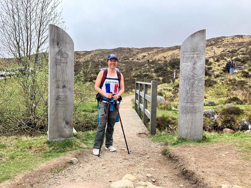
The start of “The Devil’s Staircase”. It sounds a lot worse than it is. Sure it’s steep, but it’s relatively short, and I’ve climbed much worse when bagging Munros.
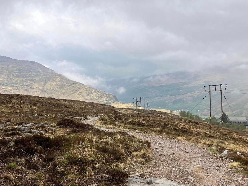
What goes up, must come down. The long steady descent into Kinlochleven, and more of those blasted jaggy stones to hurt your feet.
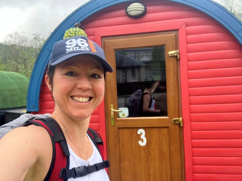
After the indulgence of the Inveroran Hotel, the accommodation in Kinlochleven was a bit more basic.
DAY 5: Kinlochleven to Fort William and the Finish Line!
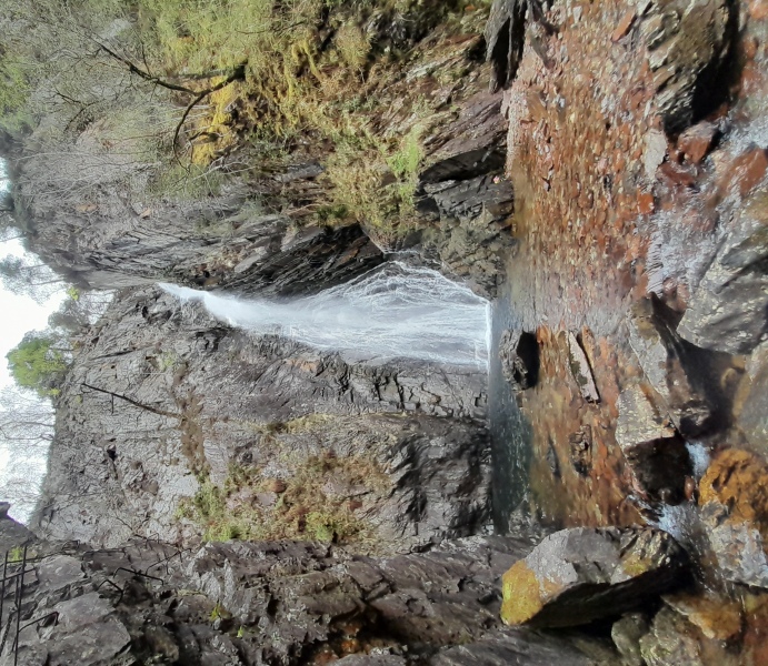
Mike told me that I should try to take the time to explore the Grey Mare’s Tail waterfall whilst I was in Kinlochleven, but I had a schedule to keep to as I had to be in Fort William in time to catch the train home. And I wanted to have enough time to squeeze in a celebratory pint at the finishing line before heading to the train station.
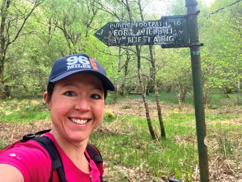
So no dilly-dallying, a hiking I must go. Unlike the other sections, from Kinlochleven, you start the day with a long uphill climb so there’s no gentle warm up for your legs.
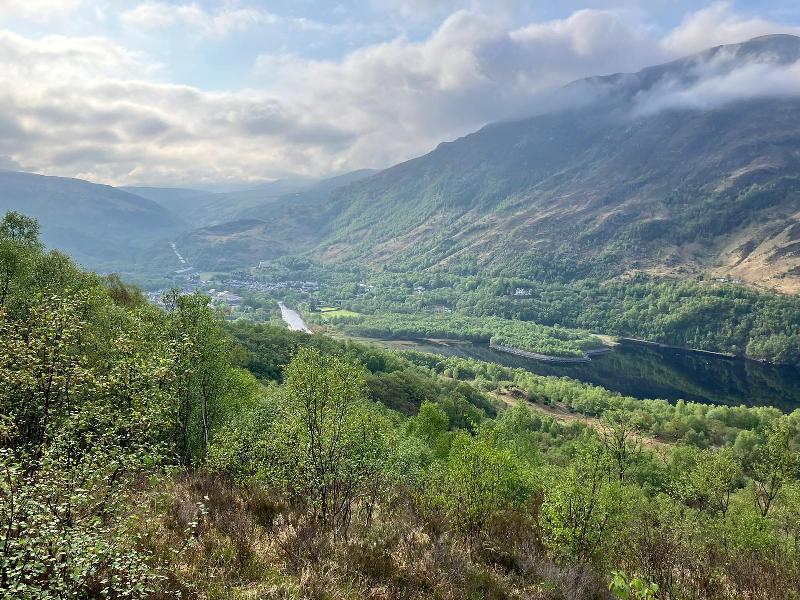
But the sun was shining and it lifted my spirits, so I was soon at the top of the ascent enjoying a view over Loch Leven and the village of Kinlochleven. The inhabitants of Kinlochleven must be grateful for the WHW because it brings them a steady stream of tourists that they might otherwise never see.
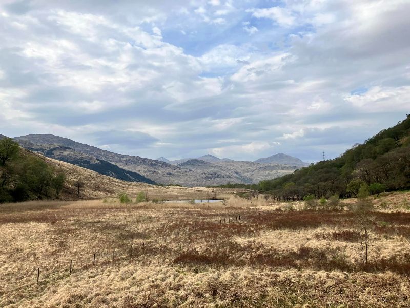
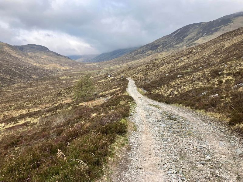
After the ascent, you join the path of an Old Military Road built in the 1700s as part of a network that was intended to allow Redcoat Troops to react quickly against Jacobite rebels. It’s quite a bleak glen that you pass through.
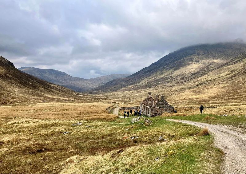
One of the few landmarks in the glen is the ruined cottage at Tigh-na-sleubhaich. If you zoom in, on this photo, you’ll see that there are about 20 - 22 people visible on the path. It’s a popular walk and you never feel lonely for long.
The scenery gets steadily better as the path nears Glen Nevis.
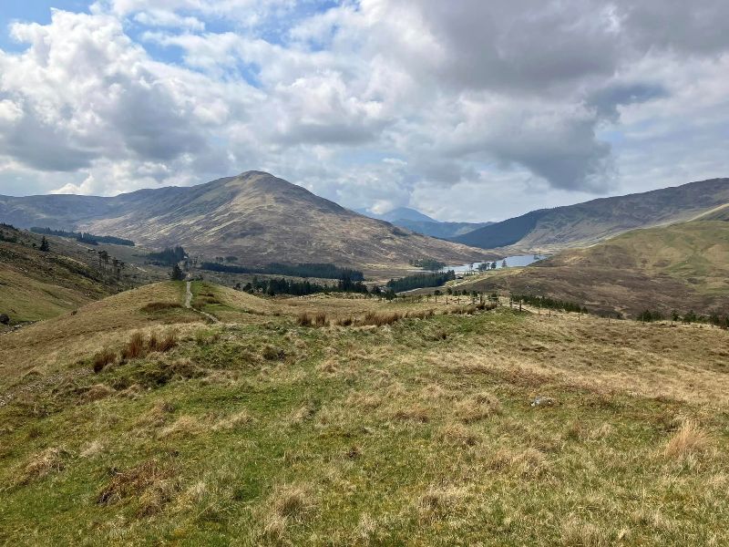
Trees always improve the landscape. Of course, much of Scotland’s barren landscape is a result of human intervention.
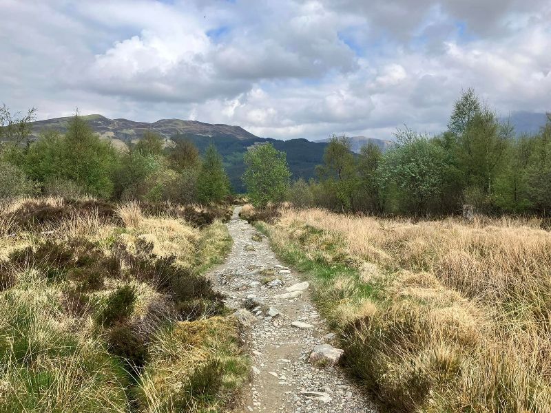
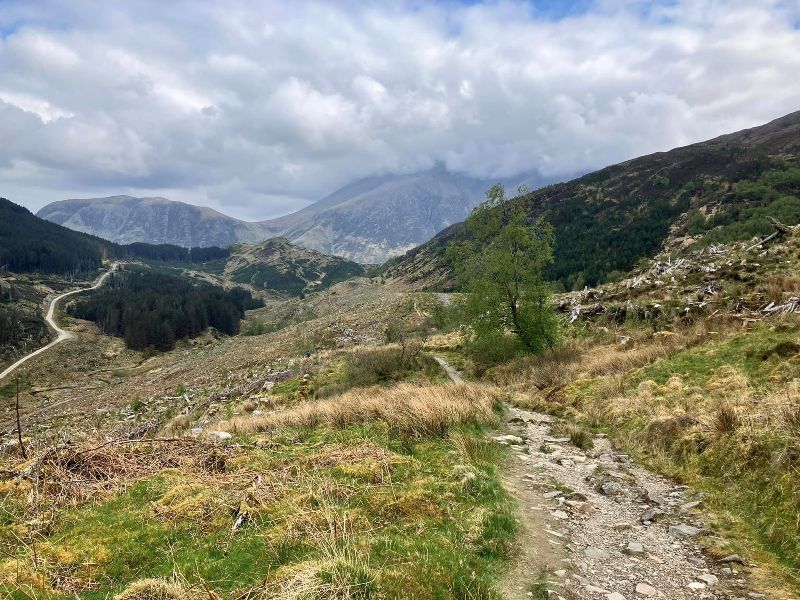
Ben Nevis comes into sight and my anticipation of crossing the finishing line grows as I start the descent into Glen Nevis.
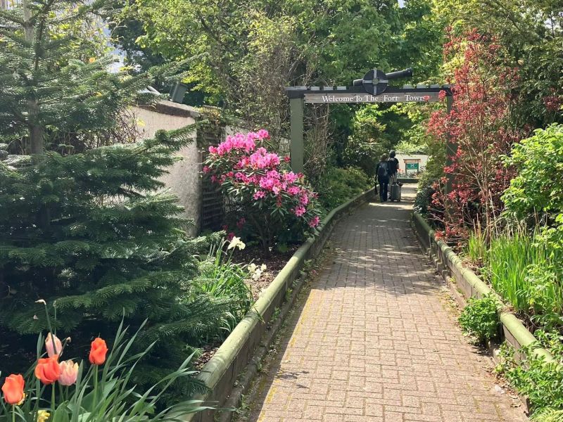
Not at the finishing line just yet. This is a nice little route for walkers that leads into Fort William via a garden that was built to honour the hard work of the NHS workers during the Covid pandemic.
And I made it! Time for the celebratory ("thank God it's over") photo at the WHW finish line with the famous statue of the “Man with the sore feet”. I'm pretty sure my feet are sorer than his.
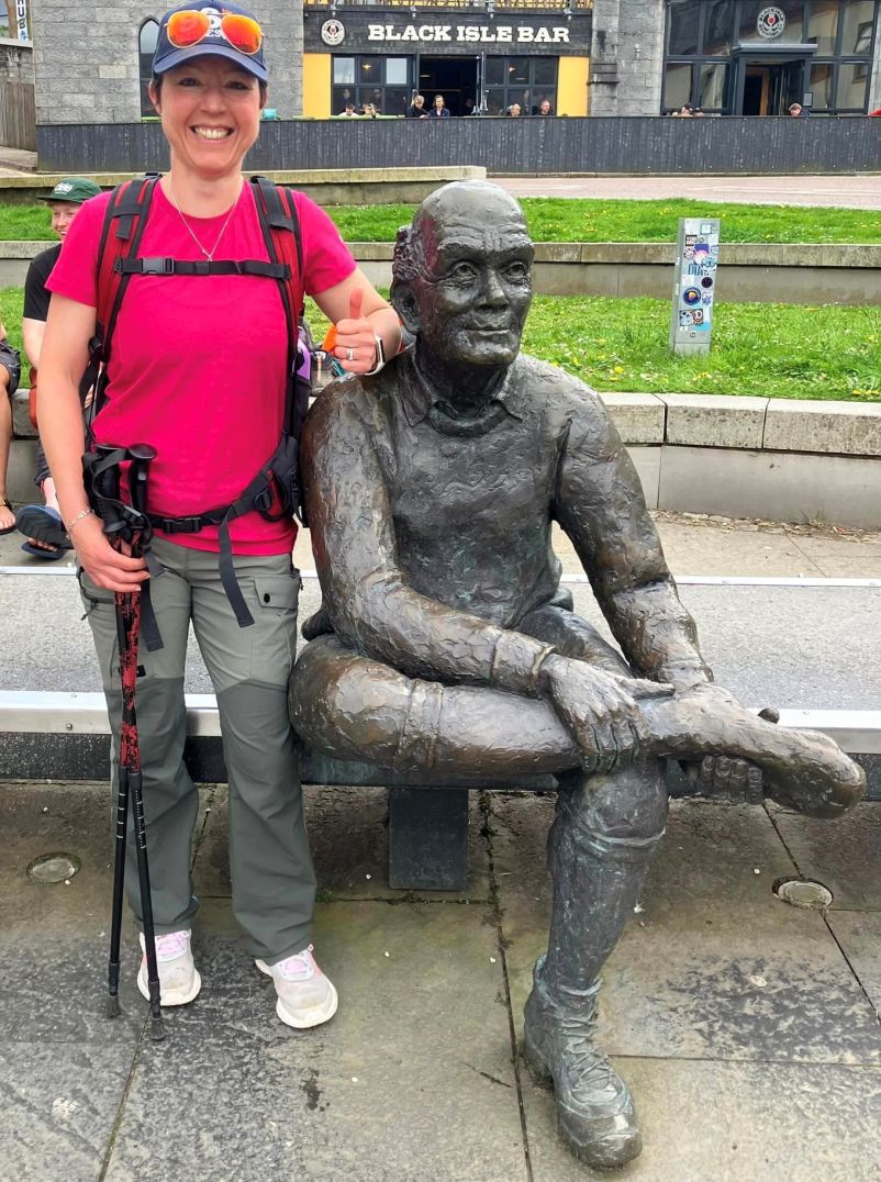
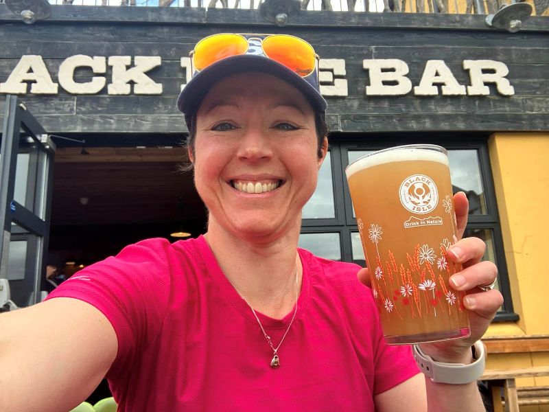
And time for a glorious tasting pint of beer in the Black Isle Bar, before catching the train to go home.
